Then and Now: Cataloging Aero Service Negatives using Google Maps
Then and Now: Cataloging Aero Service Negatives using Google Maps
What I love about cataloging images is that it provides a chance to breathe life into seemingly static artifacts. Quality cataloging information is essential to facilitating access to images like those found in the Aero Service Corporation Negative Collection. This includes most generally information such as titles, creators, dates and physical characteristics of an image. But my role as cataloger is also to provide added value by identifying and adding information that enhances a photograph’s potential relevance within the wider context of LCP’s collections.
In order to include this kind of information in the catalog, it is necessary, of course, for me as the cataloger to understand exactly what I am looking at so that my descriptions orient the viewer spatially as well as historically. I might rely on any number of secondary sources to find information about the location depicted. But the most essential tool for understanding the Aero Service negatives is the ability to employ Google Maps to compare aerial views of what is pictured ca. 1920s-1930s versus what an area looks like currently. Aero Service images are often of something big and recognizable, such a bridge. But understanding these images also includes recognizing features such as the curve of a road or a bend in the river, to match those unchanging (or slower-changing) features of the land. It is this comparison of “then vs. now” that makes cataloging this collection interesting and relevant for any number of reasons.
Take a look at some of these then-and-now comparisons of Aero Service negatives showing construction of Philadelphia area bridges and try to identify what has changed in the past 90 years.
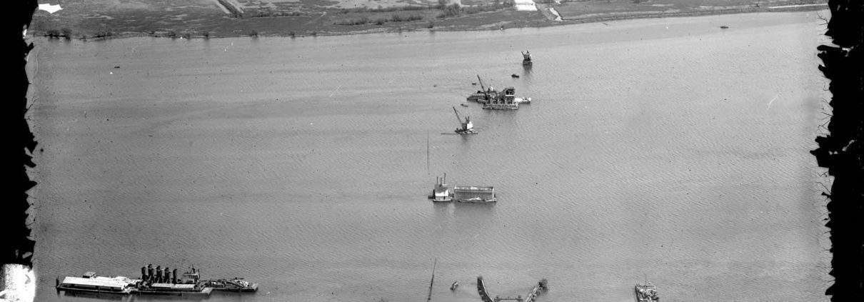
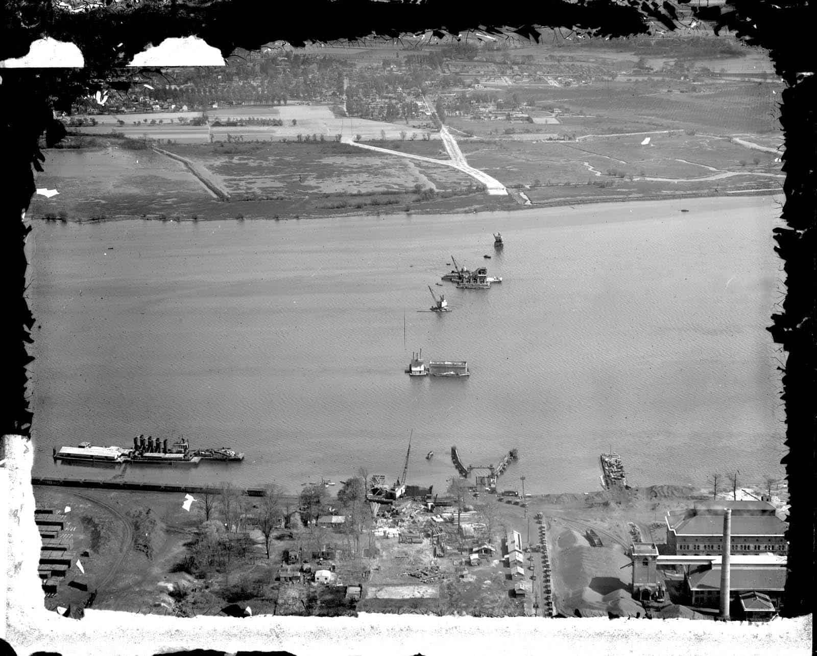
Tacony-Palmyra Bridge construction, Tacony, Philadelphia 1928.
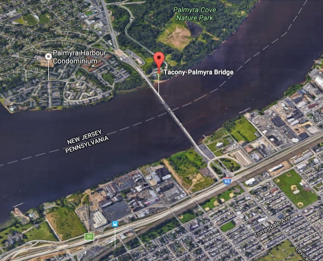
Tacony-Palmyra Bridge construction, Tacony, Philadelphia (P.8990.8496). The “Y” formation of the roads in the image (above) was identified in the Google Maps view (below) in order to identify that the image is looking southeast towards New Jersey at the earliest stages of bridge construction.
Google Maps view of the Tacony-Palmyra Bridge captured October 11, 2016
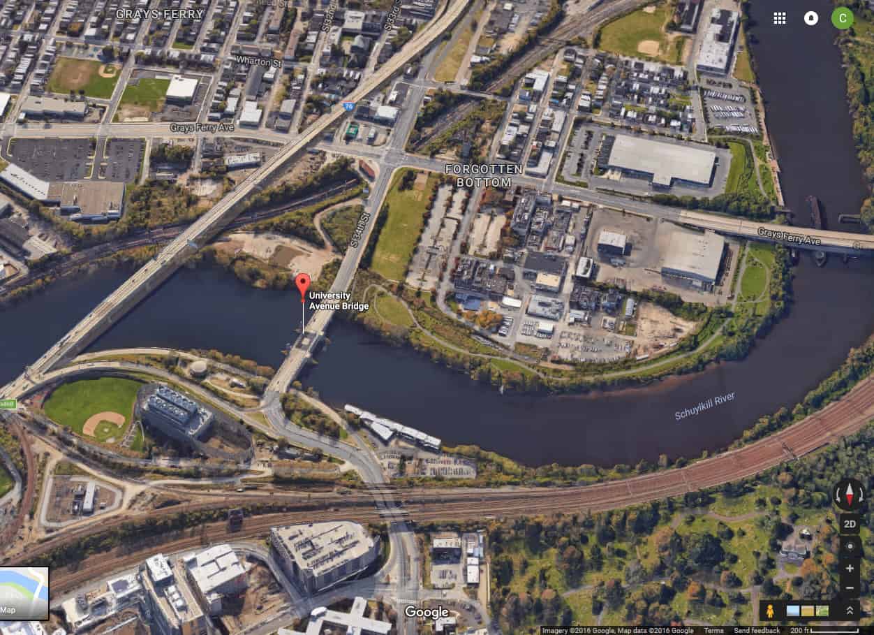
University Avenue Bridge under construction, connecting the Grays Ferry and West Philadelphia neighborhoods, Philadelphia. 1932.
Google Maps view of the University Avenue Bridge captured October 11, 2016.
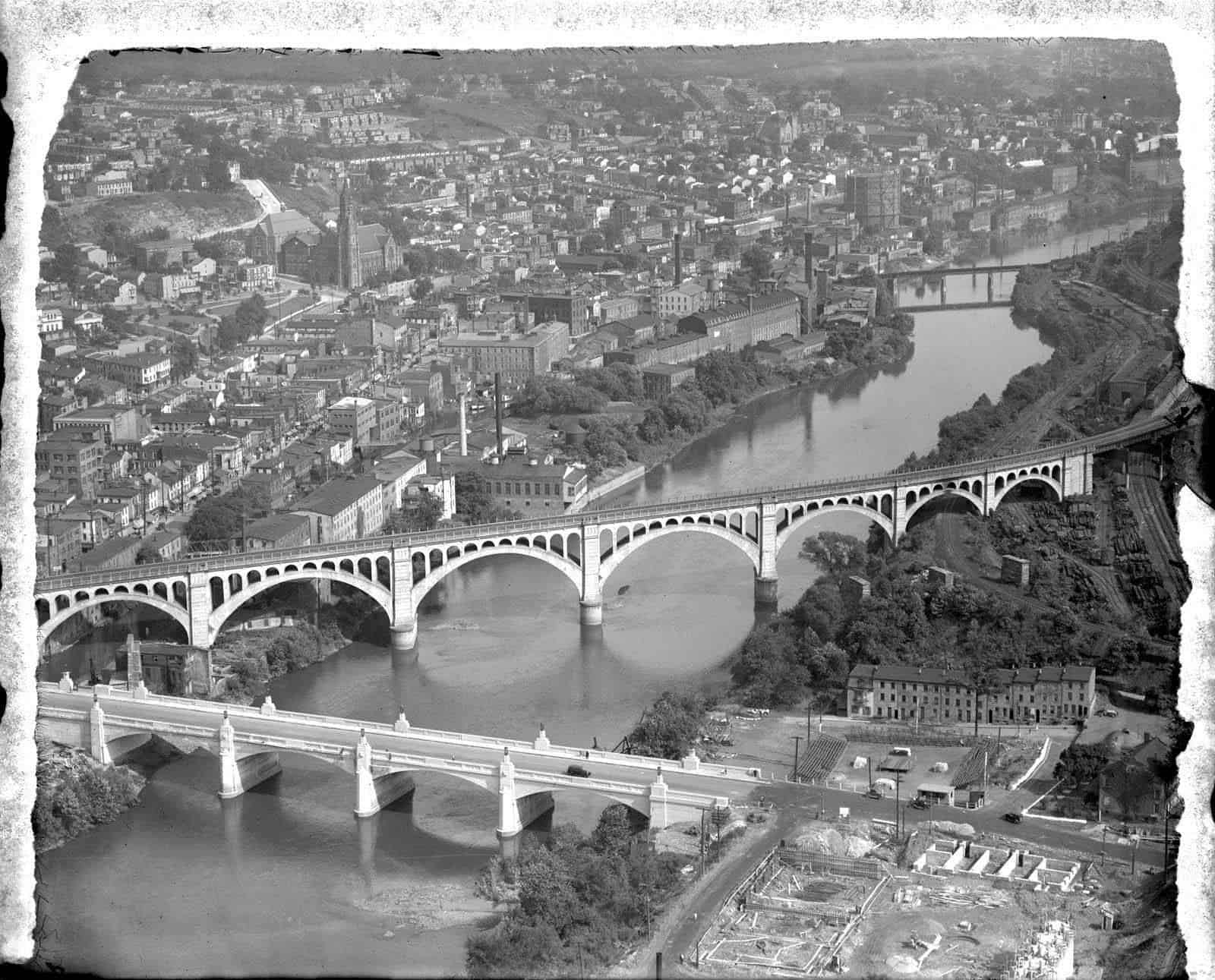
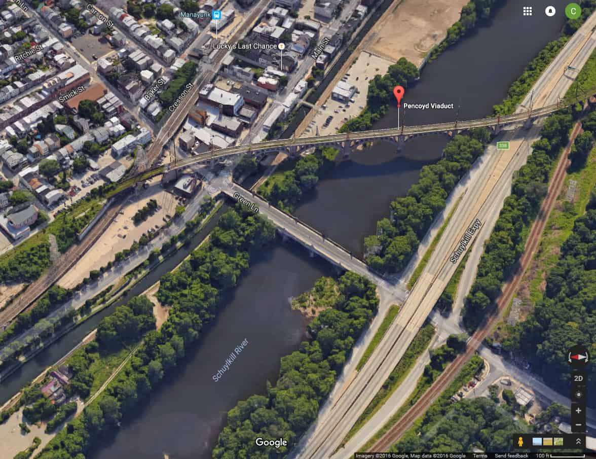
Pennsylvania Railroad, Manayunk Bridge, Spanning Schuylkill River & Green Lane, Manayunk, Philadelphia. ca. 1928 (P.8990.8844).
This view showing the Manayunk bridge construction almost at completion. The shapes created by both bridges make this area easy to identify on Google Maps. But what is perhaps more interesting are the somewhat ramshackle strip of row houses and other development in the lower right corner, all of which was likely lost during the creation of the Schuylkill Expressway, if not before.
Google Maps view of the Pennsylvania Railroad and Manayunk Bridges captured October 11, 2016.




Leave a Reply
Want to join the discussion?Feel free to contribute!